
![]()
[ Back to Home Page ] [ Park Map ] [ E-mail me ]
Click on any image for a larger view!!
|
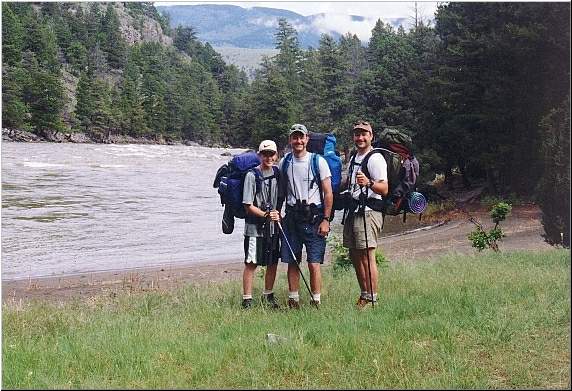
It was raining
slightly when we got up the next morning, a very good reason to lay around and
sleep in a little bit. We knew we only had about 5 miles to do to get to
Gardiner, so it wasn't a great big deal. A little while later the rain stopped
and we got up, had some breakfast (pop-tarts, power bars, kudos etc.) and
started packing up. The tent, of course, was soaked. Knowing that we didn't
have
to use it the next night made rolling it up and shoving it into the pack easy.
We filled up our water bladders with filtered Yellowstone River water and we
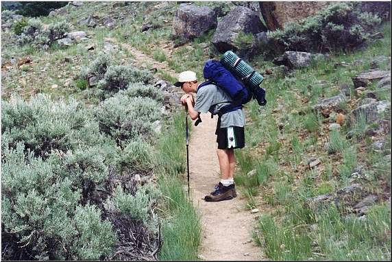
were off. I set the camera up on the tripod and snapped this picture right
before we left.
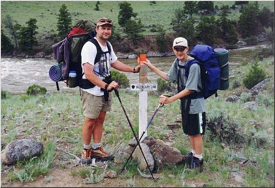
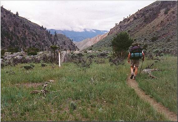
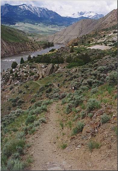
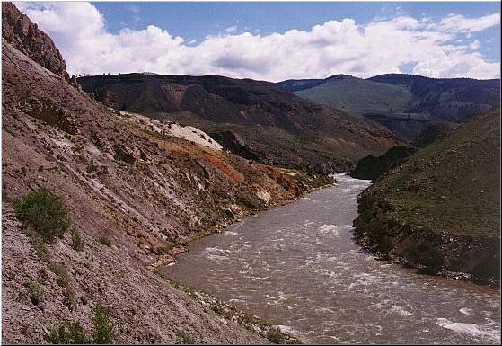
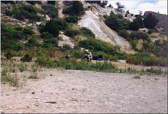
There were
alot of very cool parts of the trail yesterday, but I think the section between
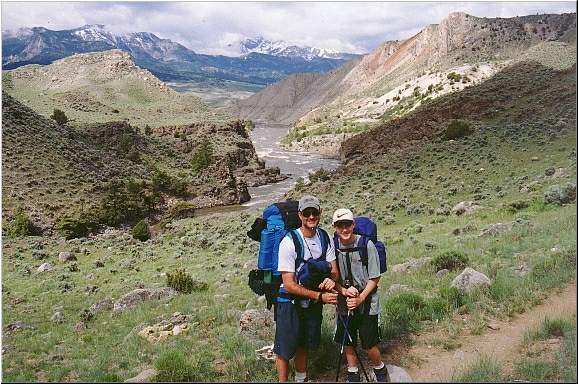
1Y1 and Gardiner was my favorite. The trail followed the northern park
boundary, and for a very brief section actually exited the park. The views
were stunning, as we climbed high above the Yellowstone River.
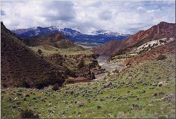
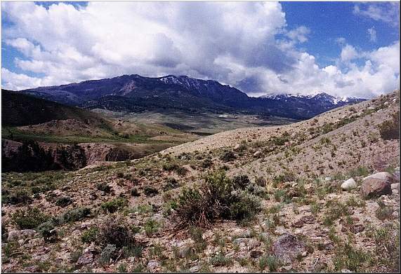
The views
to the west and southwest were magnificent. There were a few clouds rolling in
and the contrast with the deep blue sky, the mountains and the high elevation
snow was awesome. It really was "picture perfect."
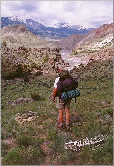
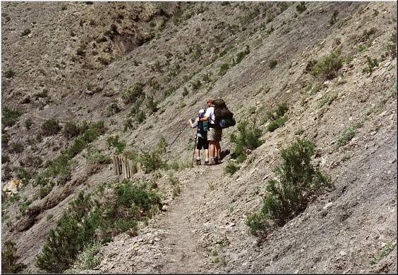
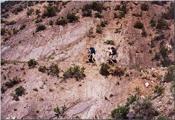
There were
also quite a number of skeletons along this section, mostly elk. If you blow
up the picture on the left, it is easy to spot the skeleton in the foreground.
What is interesting though, is if you look just to the left of Joe, you can see
the two back legs, and the pelt of the Elk. It was almost like it had been
skinned, the bones were picked clean, but the hind legs and the skin were left
alone.
The terrain
started to change again. It was almost desert like, with sagebrush and tiny
cacti everywhere. It was very dry here, and because we were pretty high above
the river at this point, there was no water available. I was glad we filled up
back at 1Y1.
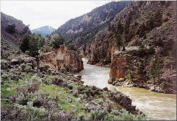
Looking back
towards the east and to the south yielded excellent views of the deep canyon
cut by the Yellowstone River. Right in this area we spotted an Osprey nest on
the south side of the river. We were able to observe the nest for sometime
with our binoculars. It appeared that there were two adults and at least one
baby in the nest.
This section
of the trail would be trouble if it was raining. It is mainly dirt, but cut
right
into the slope. It would be dangerously slippery if it was wet. It is also a
very hot, very dry section of the trail. It was hot in early June, and would
be unbearable in August.
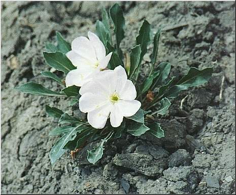
We took
a snack and water break near some dormant thermal features right next to the
trail. In the picture to the right, the white rock in the background is
actually the remains of some type of geyser. The sandy material in the
foreground is calcifications and the like. There was water flowing under the
calcifications and rising to the surface in a couple of different spots. There
was a slight smell of sulpher in the air. As rocky, dry and desert-like as
this area was, there were still numerous wildflowers growing right out of the
side of the steep incline.
As is usually
the case, the last mile of the trail seemed to take the longest. The terrain
become forested again as we got to the town of Gardiner. The trail climbed
steadily through the forest and there was a significant amount of water running
by, and on, the trail. The trail was very muddy and sloppy right toward the
end. One final, uphill, push and we came out of the trail at the end of a
short road, adjacent to a campground and half a block from where we parked our
car the day before. We threw our packs down and opened up the car for it to
cool down, it was probably around 80 degrees now.
One final
and very nice surpise to end a very enjoyable backbacking trip: the styrofoam
cooler in the car trunk
contained two beers and a Dr. Pepper, still cold!
|
[ Back to Home Page ] [ Park Map ] [ E-mail me ]