
![]()
[ Back to Home Page ] [ Park Map ] [ E-mail me ]
Click on any image for a larger view!!
|
We
had
read about the Petrified Forest in
Yellowstone Trails: A Hiking Guide
, by Mark C. Marschall, and it gave
general directions on how to locate it. We left Roosevelt Lodge and
it was a quick drive to the trailhead, which is located in the Yellowstone
River Picnic area. Click
HERE
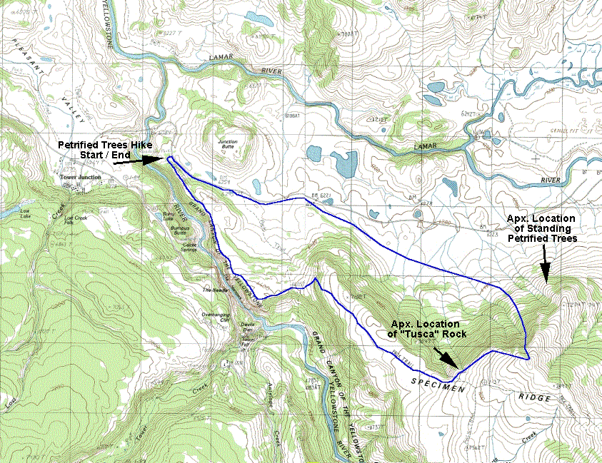
(197K) to see a map of the route that we took. We had packed daypacks
for the hike including water, lunch, fleece tops, raingear, first aid
kits etc. The weather was beautiful, in the low 70's and mostly sunny.
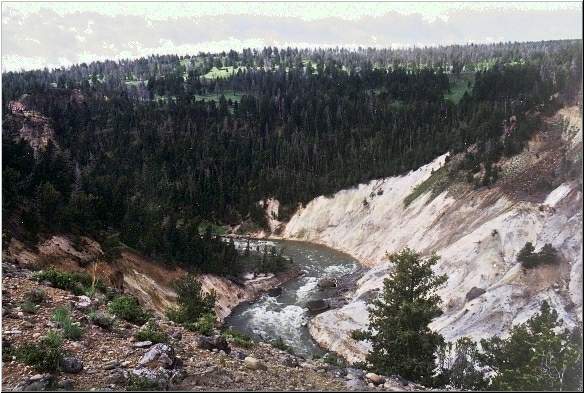
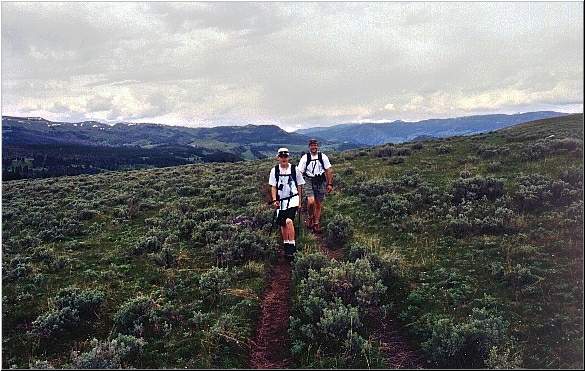
We were hiking in shorts and tee-shirts. The trail climbed gradually
up the ridge and offered great views of the beginning of the Grand Canyon
of the Yellowstone.
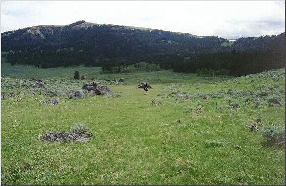
The trail leveled out and we began walking through a meadow along the top of the ridge. The weather had turned a little cooler and misty clouds started to roll in, an intermittent light sprinkle encouraged us to put on our fleese jackets.
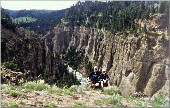
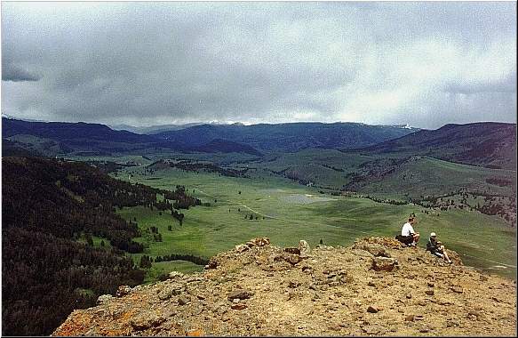
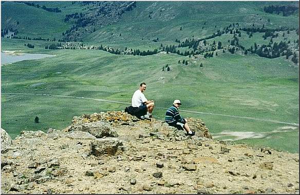
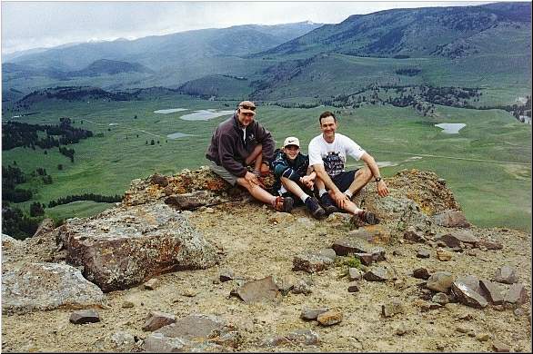
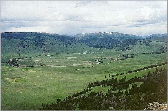
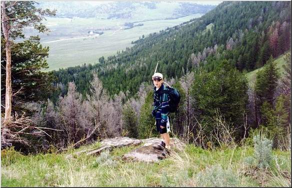
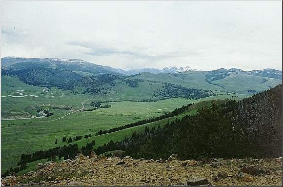
The trail started to climb again heading to the top of Speciman Ridge. When we got toward the top of the ridge we decided to follow the ridge line and look for the petrified trees as opposed to following the official trail. We spent some time resting and soaking in the wonderful views of the Lamar Valley ontop of a rock outcropping that Ben designated as "Tusca" Rock.....don't ask.....I set up the tripod and got a couple of shots of the three of us. The wind picked up a little and it started to drizzle again.
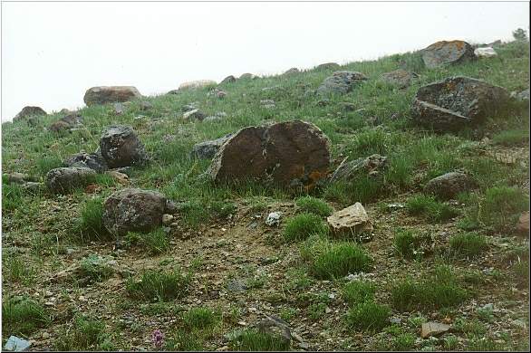
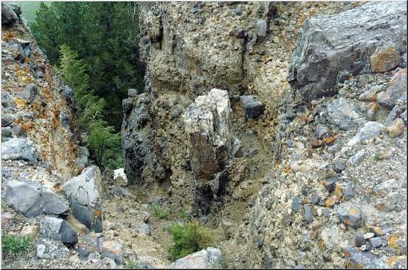
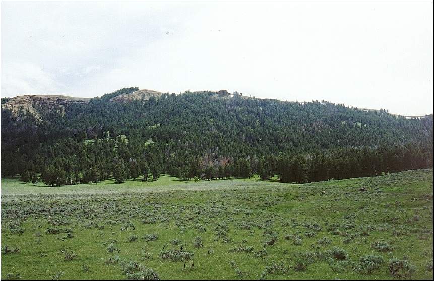
Right at this rocky outcropping we found a petrified log and a number of small pieces of petrified wood laying around, we knew that we were close. Slightly east of Tusca Rock, directly on the ridge, we came upon a petrified tree trunk still standing. These however were not the trunks that were photographed in the guidebooks.
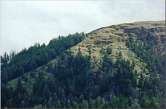
Looking east off of Tusca Rock with our binoculars we were able to spot the 3 petrified tree trunks that are so often pictured in the guidebooks. But how to get there from here? We decided that we would continue up the ridge, staying close to the edge and look for a way to bushwack through the scree and the snow and the forest to get to the petrified trunks. It was a short, but very steep climb to the top of the ridge before we found a place that looked safe to begin our descent. Even if we couldn't get directly to the petrified forest this was the most direct route down and would allow us to hike back through the Lamar Valley on the way back to our car.
It was a difficult descent. We were bushwacking down a very steep grade, through thick forest, across some very wet ground, and through the occasional slippery snow patch. We were sinking over our boot tops in some of these patches. This descent would not have been possible without the trekking pole that each of us had. This was our third supporting leg and kept us from cascading out of control down the slope and from skiing uncontrollably down snow patches only to come to an abrupt stop at a tree or a rock. Every few minutes we would stop and try to get our approximate bearings toward the petrified trees, which were often out of our line of sight, while picking our way down the slope. All the while yelling "Hey Bear" to discourage any unwanted surprises of the Ursus arctos horribilis variety. It soon became clear that we had not gone west enough along the ridgeline before starting our descent. When we were able to catch sight of the petrified tree trunks, they were several hundred yards away, through forest, snow and very loose rock fields. At this point it would have been extremely dangerous, if not impossible, to travel across the steep slope to arrive at the Petrified Forest. We appeased ourselves with very nice views of the famous standing trunks through our binoculars and proceeded to pick our way down to the valley. Now it was a simple matter of walking through the Lamar Valley, roughly paralleling the Northeast Entry Road, until we hit Junction Butte, from there we slogged down the side of the road back to our car.
As is usually the case, the last mile to the car, walking beside the Northeast Entrance Road, seemed to go on forever. After we returned to our cabin at Roosevelt, we put on the Tevas, grabbed a couple of beers for Joe and I and a Dr. Pepper for Ben and went out back and soaked our tired, hot feet in the ice cold creek. Approximate distance roundtrip - 11 miles.
|